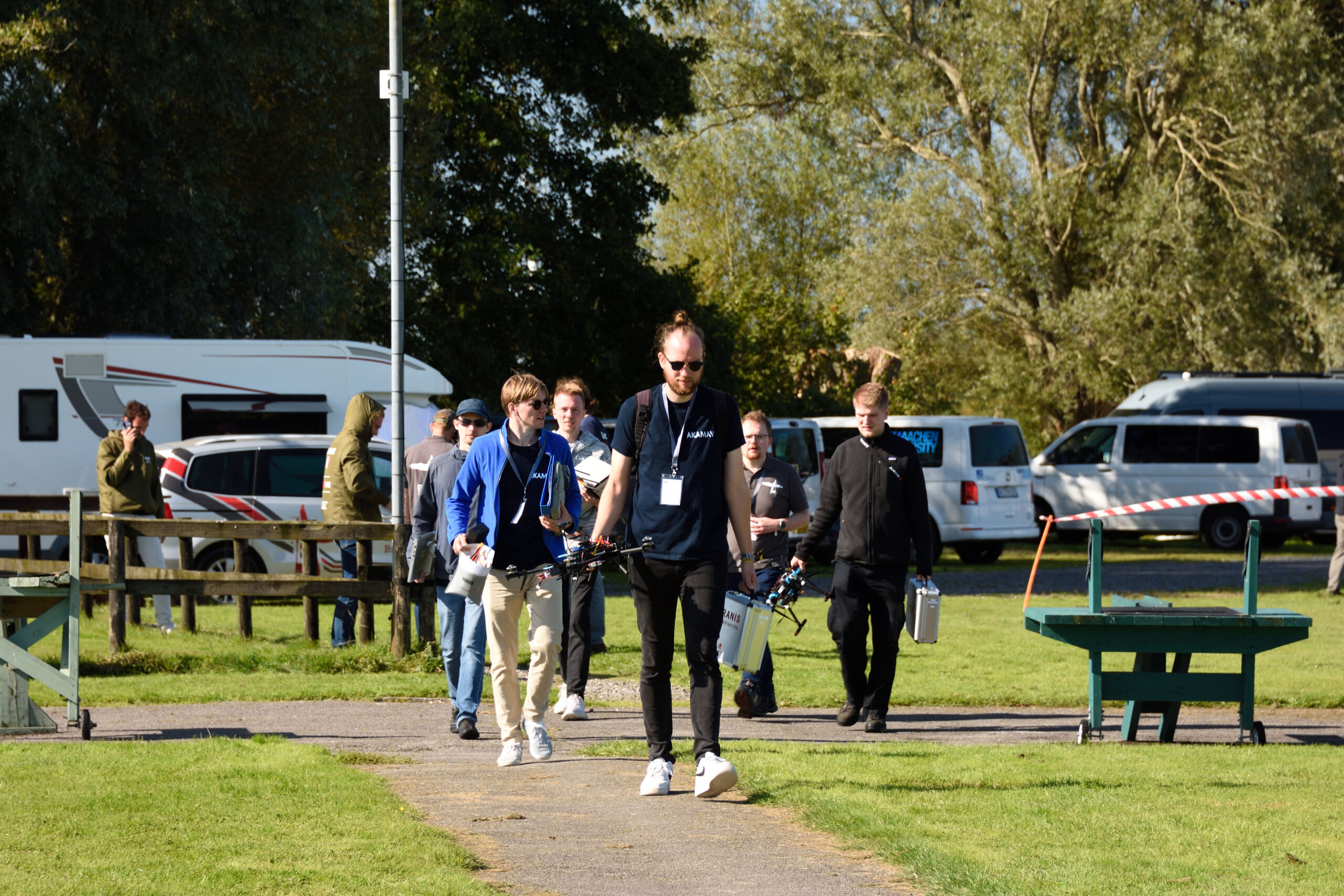
The IMAV 2024 (International Micro Aerial Vehicle Conference and Competition) took place in Bristol in mid-September with the overarching theme of “Wildlife Conservation”. There were various competition tasks that had to be completed both indoors and outdoors.
Outdoor-Competition
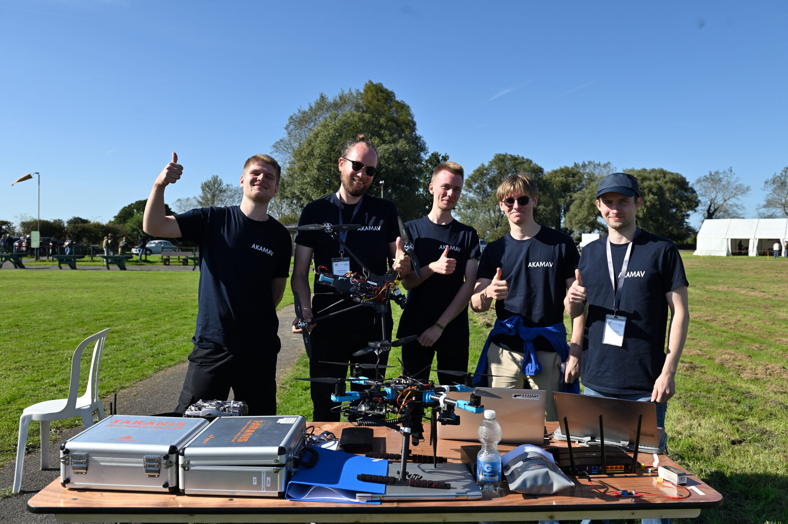
In the outdoor competition, we first had to fly to waypoints in the form of GPS coordinates as efficiently as possible and perform a precision landing. In the next part, we were given GPS coordinates where there were wildlife dummies that had to be photographed. Finally, a large grassy area had to be flown over and mapped using a camera. The map compiled from the individual images contained paper zebra dummies hidden in the grass, which we localized using AI-supported object recognition. Everything went smoothly during the execution, apart from two minor incidents when landing and taking pictures. With our approach, we were able to secure 2nd place.
Indoor-Competition
A parkour was set up for the indoor competition, which the teams had to fly through as far as possible and as autonomously as possible. There were obstacles to fly through, precision landings on a pillar, the transportation of a small object and at one point a photo of an animal on a screen had to be taken. The drones were visually guided by color contours and a continuous line that marked the course of the parkour. Our approach was semiautonomous, which earned us great respect from the jury.
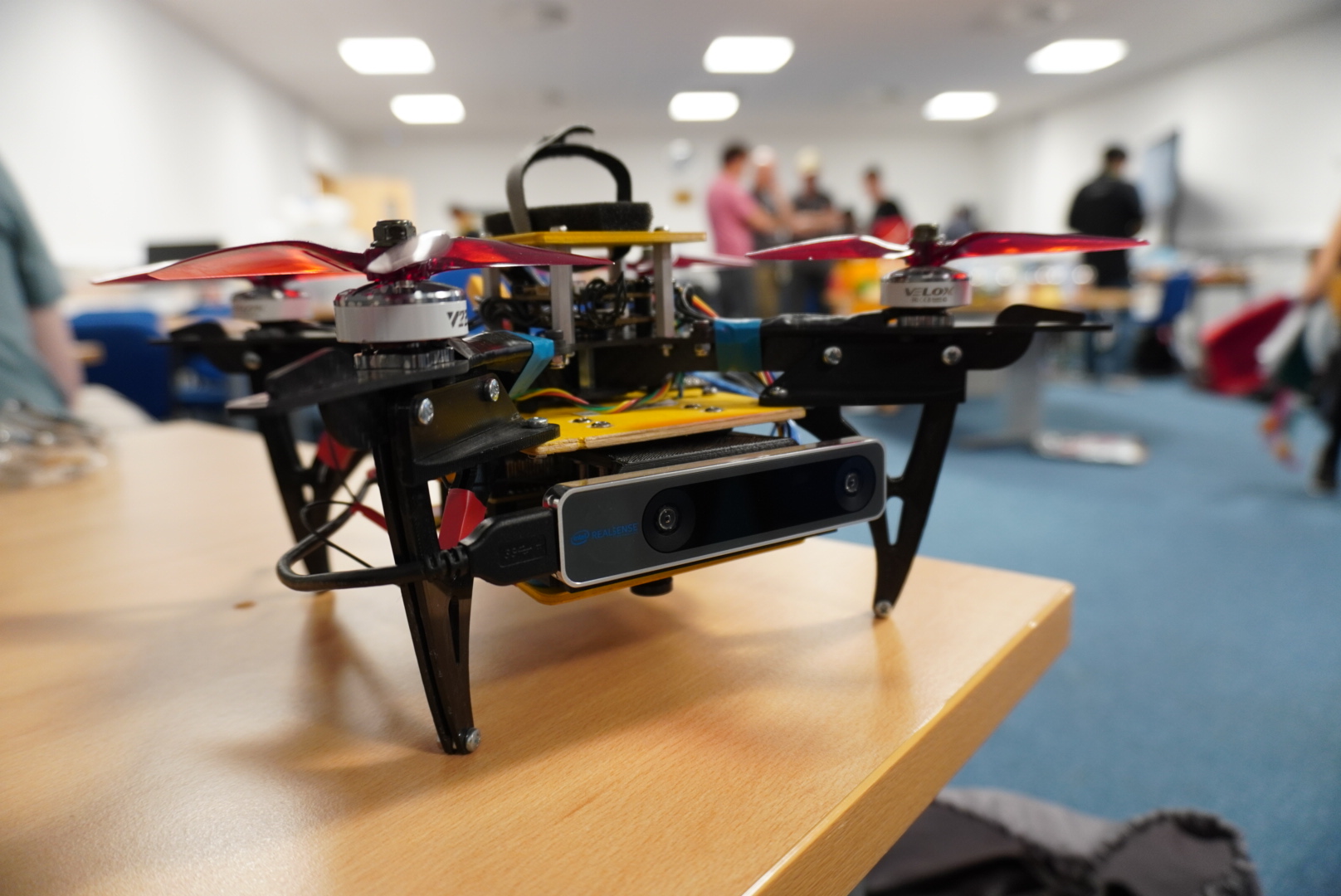
Aircraft
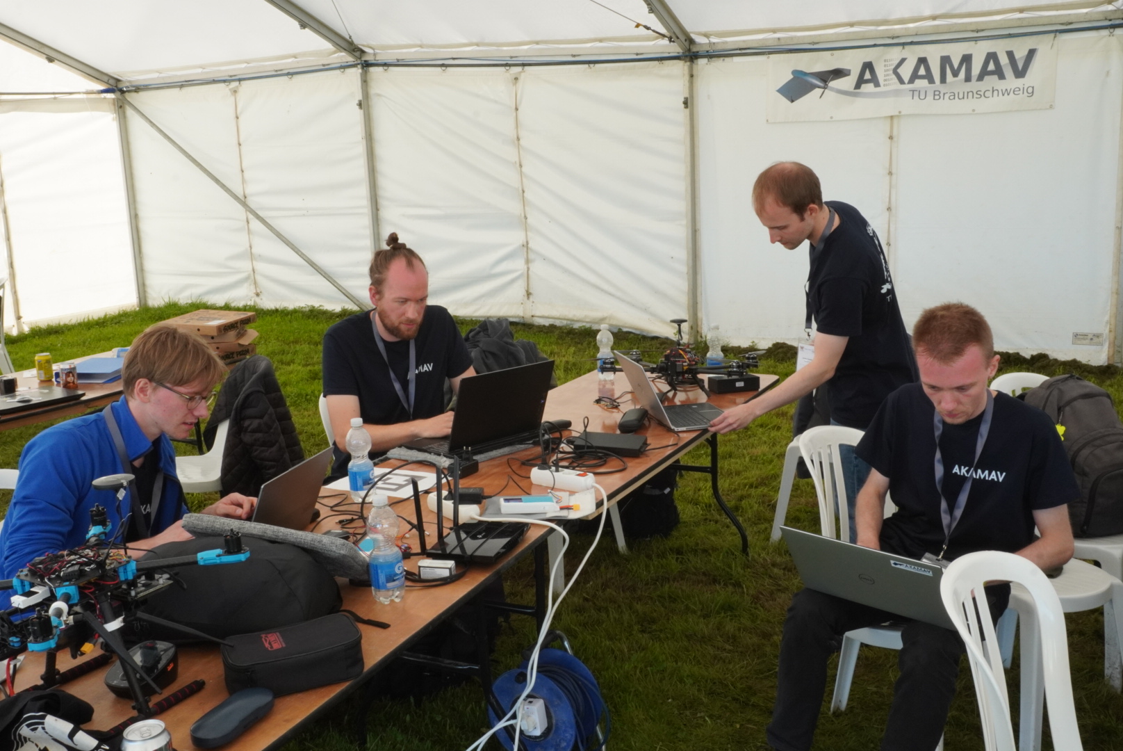
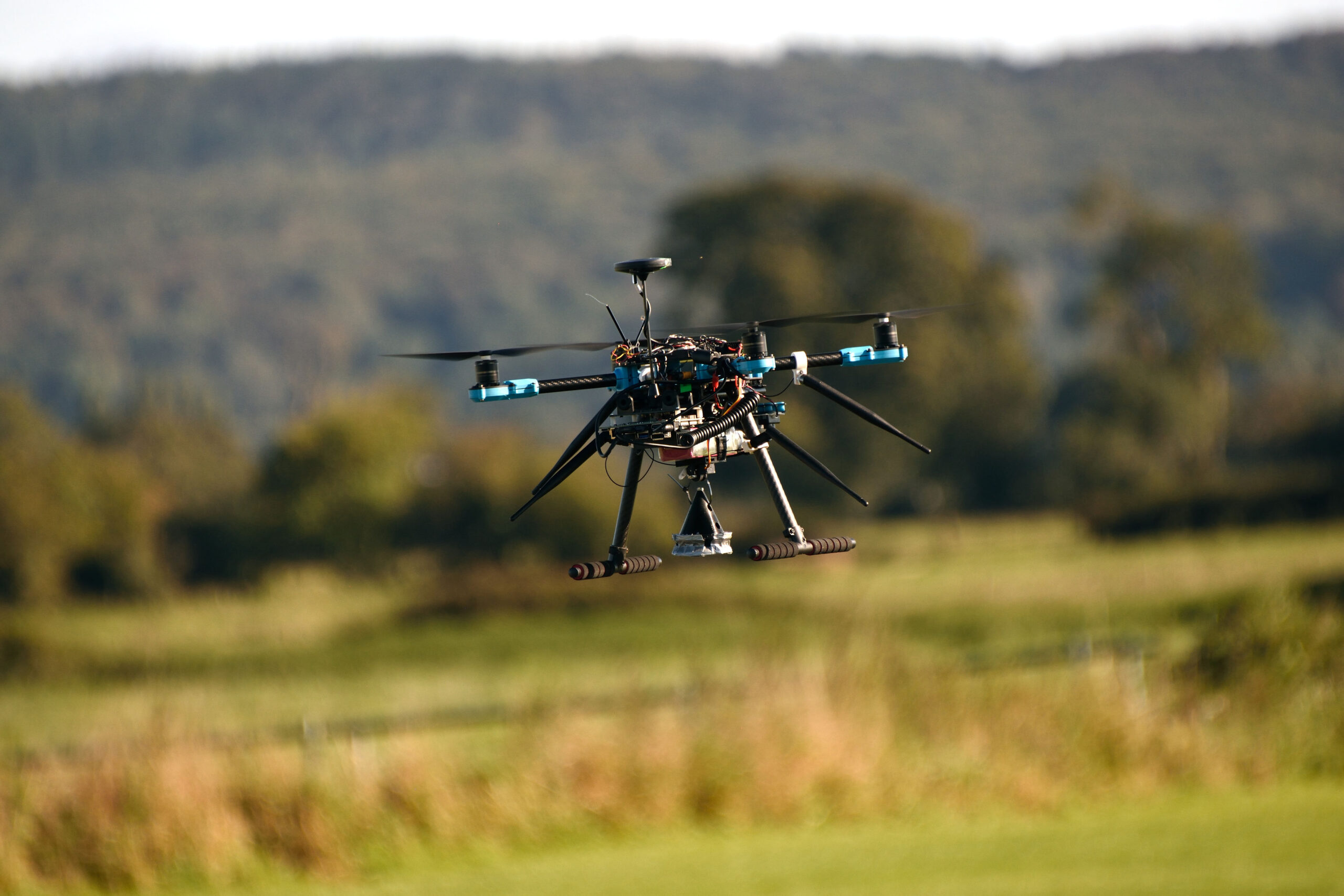
We used two existing copters for the outdoor competition, while we built a new small copter for the indoor competition in the summer. The copter we used outdoors is based on the X500 frame from Holybro. It is very stable in the air and offers enough space for additional components. The heart of the quadrocopter is a Pixhawk flight controller, which controls the motors and keeps the copter safely in the air. For autonomous flight, we rely on an RTK ground station for precise positioning in addition to GPS. A receiver enables manual control and emergency interventions, while a telemetry module ensures communication with a ground station. Autonomous missions can be created and started on a laptop with ground station software. The software also displays the current status of the aircraft, such as position, battery voltage, altitude and much more information. AKAMAV was supported by the Institute of Flight Guidance, the Institute for Intermodal Transport and Logistics Systems of TU Braunschweig and by financial contributions from the Aeronautics Research Centre Niedersachsen, the Faculty of Mechanical Engineering, the VDI Braunschweig Association and the Hochschulbund Braunschweig Association.